
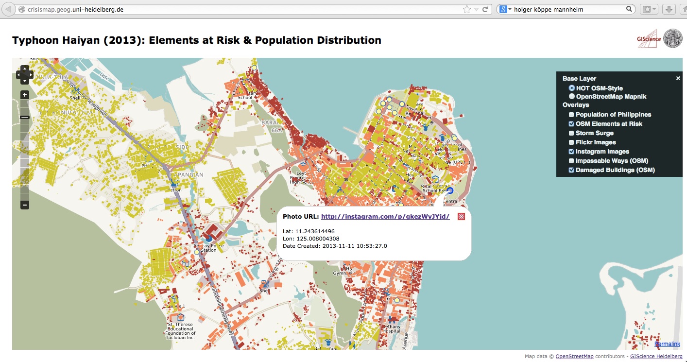
In addition to the map layers showing population density elements at risk as explained below we added new map layers displaying damaged buildings and impassable roads (OSM) as well as geolocated images from Instagram to our crisismap at crisismap.geog.uni-heidelberg.de.
The data is updated regularily. Thanks to all contributors!
please be patient for the buildings layer to load.
Damaged buildings from OSM and Instagram images added to Philipines CrisisMap
by
Tags:
Leave a Reply
You must be logged in to post a comment.